
Projects & Case Studies
Agricultural monitoring, renewable energy, maritime AI and robotics. Select a project image to see it at full size.

Agricultural AI · Geospatial Engineering
Plant Health & GIS Automation
An end-to-end plant-health assessment workflow for ArcGIS Pro and QGIS. UAV imagery, planting pits and canopy polygons are aligned to classify vegetation, produce maps and prepare field inspection packages.
Technical overview & project images
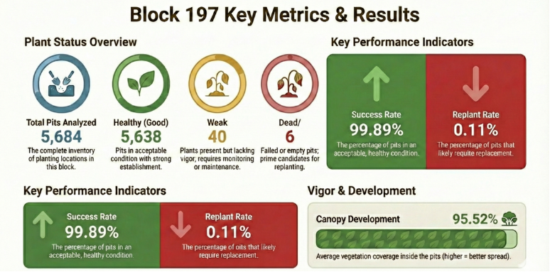
Five GIS processing stages combined into one configurable workflow, including imagery validation, health classification, NDVI/NDRE verification, ground-truth calibration, QField packages and automated reports. A supplied validation run linked all plant records to planting pits without unmatched or ambiguous records.

Deep Learning · Environmental Restoration
AI Plant Detection & Enumeration
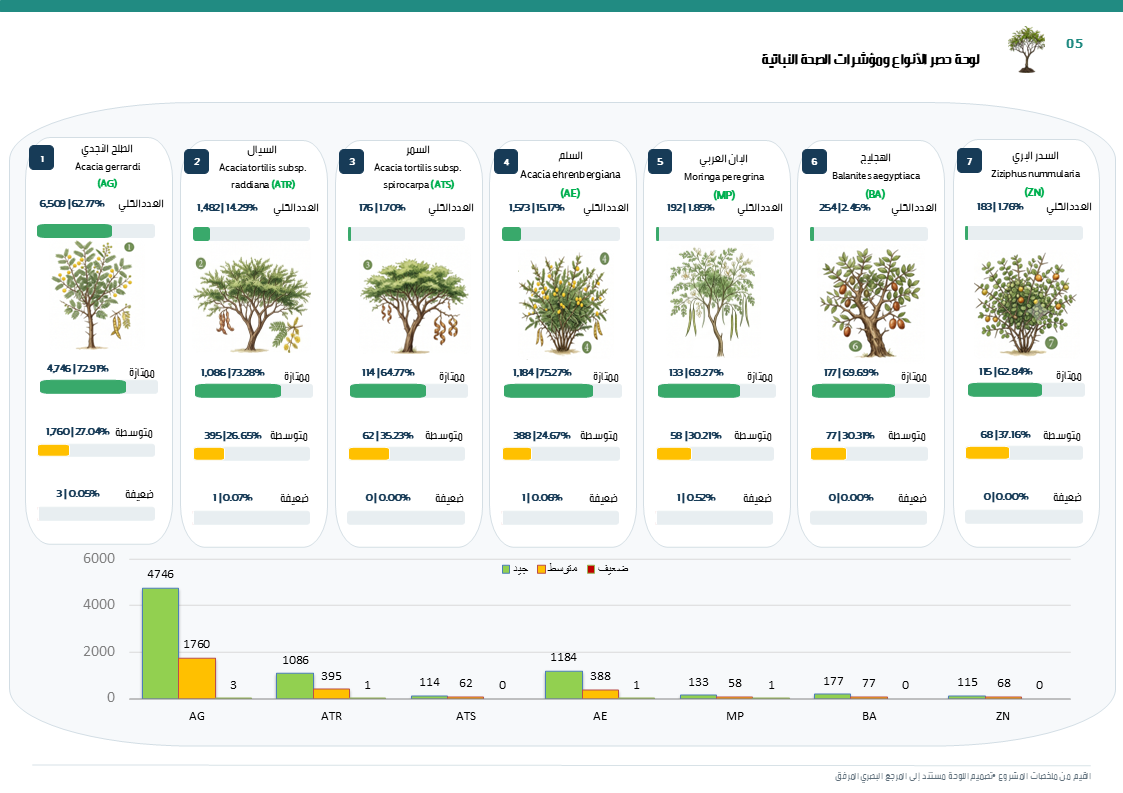
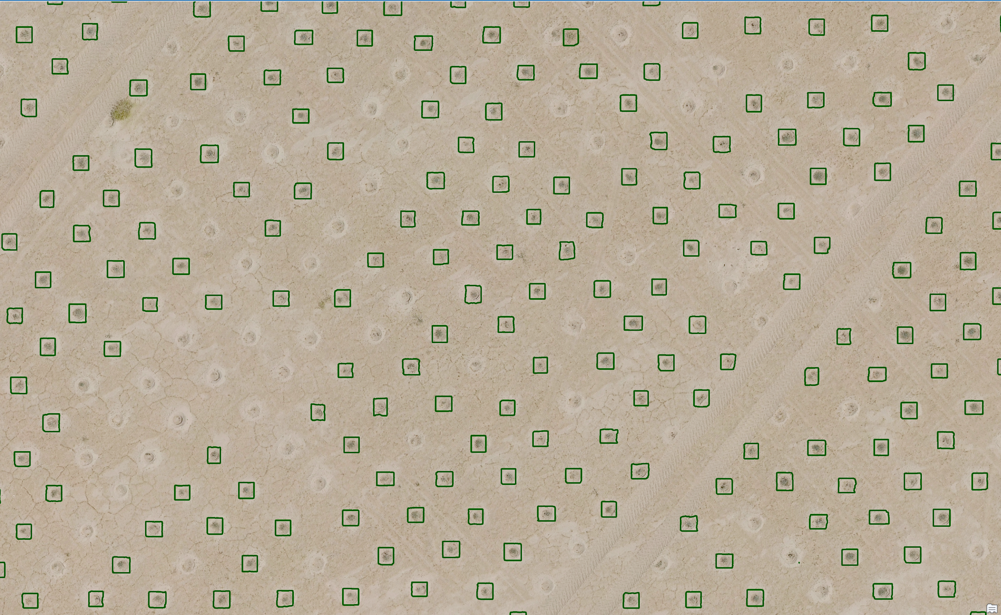
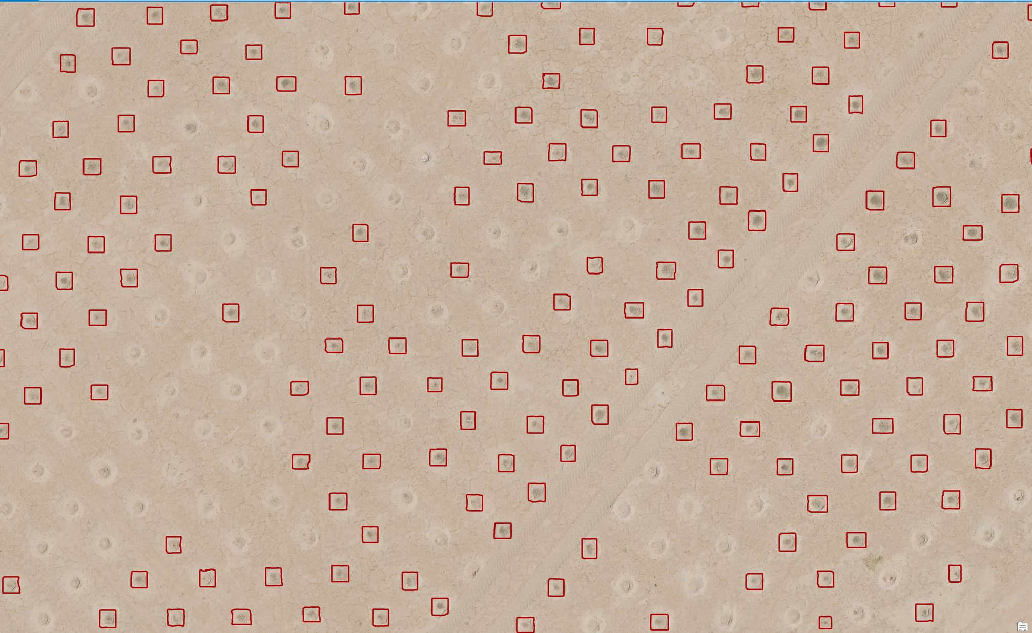
Deep learning and high-resolution drone imagery for plant identification, counting and location in Kuwait’s natural reserves. This work supports revegetation monitoring for UN & PAAF projects across a 100 km² programme.
Technical overview & project images
Training-data preparation, RGBD image chips and Mask R-CNN detection and segmentation. The supplied white paper documents data collection, training and iterative validation for plant inventory workflows.
Physical AI · Thermal Analytics
Solar Inspection Automator
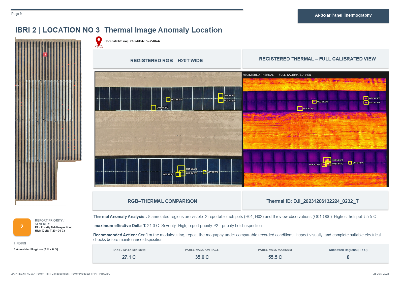
DJI H20T thermal and RGB imagery, Python and OpenCV are combined to locate solar-panel hotspots and organise inspection evidence. A first run processed 793 thermal images and flagged 105 candidates for further engineer review.
Technical overview
Visual registration, radiometric temperatures, panel localisation and filtering of shadows, ground heat, reflections and panel-edge noise. Outputs include annotated images, RGB–thermal comparisons, GeoJSON, KML and review reports. Engineers make the final assessment.
Edge AI · Maritime Inspection
Orange Marker AI Detection
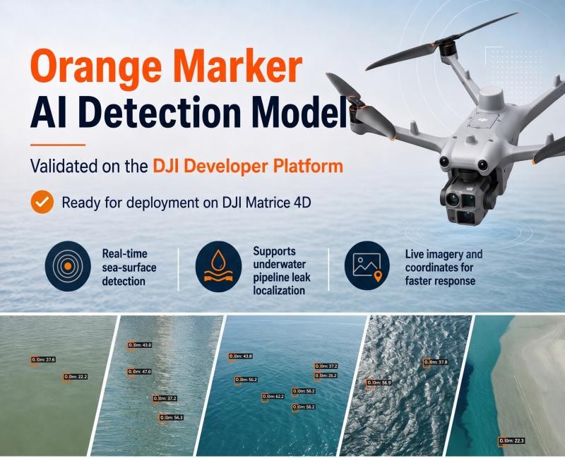
A drone-based AI model that detects high-visibility markers on the sea surface to support underwater pipeline leak localisation. The model was validated and approved through the DJI Developer Platform for deployment on the Matrice 4D.
Technical overview
YOLOv8-S / MMYOLO, high-resolution aerial training data, quantisation and real-sea validation. The supplied technical record reports 0.824 AP50 on an untouched real-sea holdout. The field workflow combines detections, confidence scores, human verification and GPS-linked evidence.

Robotics · Autonomous Ground Systems
Mubarak Sentinel Rover
A locally developed Physical AI prototype designed to sense, navigate, collect data and support inspection in real operating environments. Potential applications include facility inspection, agriculture, safety checks and indoor or outdoor mapping.
Technical overview
The Mubarak platform connects embedded systems, perception, autonomy and field reporting. The LinkedIn project account describes a Kuwait-built prototype and intended deployments in challenging Gulf environments.
Autonomous Drone Deployment · Field Engineering
DJI Dock & Enterprise UAV Operations
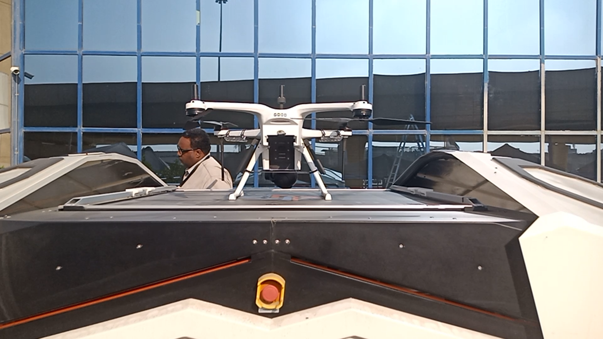
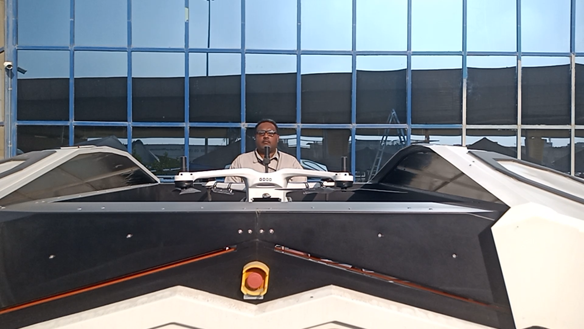
Hands-on work with enterprise drones and autonomous drone-in-a-box systems, from installation and field maintenance to mission workflows and private fleet-management infrastructure.
Technical overview & project images
DJI Dock 3 deployment and diagnostics, FlightHub 2 On-Premises administration in Docker, device integration, waypoint missions, live telemetry and private mapping workflows. Broader experience includes infrastructure surveys and industrial UAV, UGV and ROV inspections.

Computer Vision · Environmental Monitoring
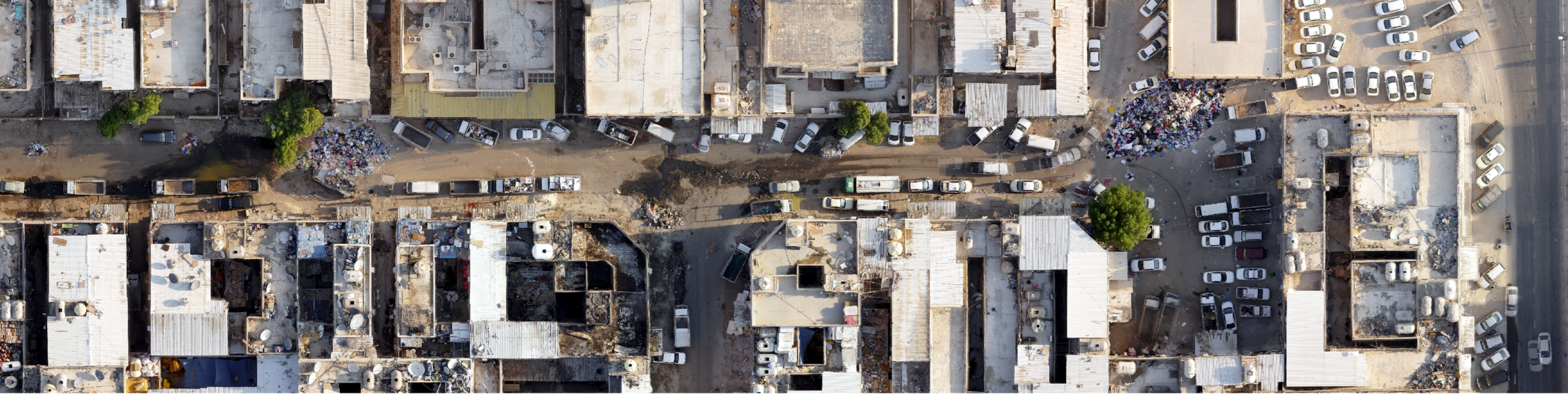
AI-Enhanced Waste Detection
A case study proposing drone imagery and deep learning to identify waste sites and support cleanup prioritisation. Georeferenced outputs help environmental teams focus inspections and monitor wider areas.
Technical overview & project images
Aerial image collection, annotation, object detection and location reporting. The case study discusses how estimated waste volumes could inform municipal cleanup priorities.

Project Concept · Arabic AI & Smart Living
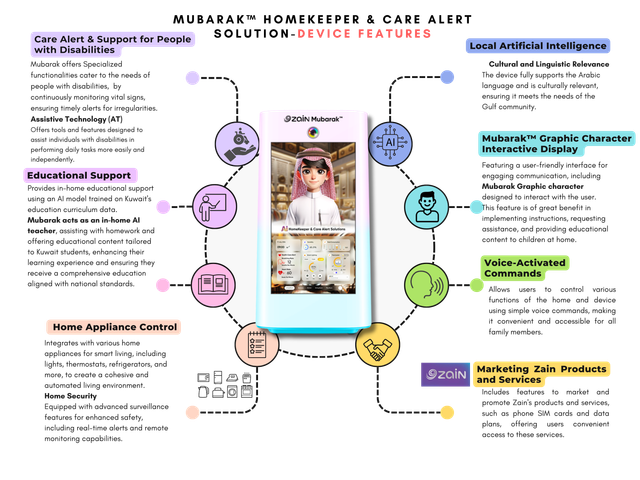
Mubarak Homekeeper & Care Alert
A proposed Arabic-enabled home assistant with educational support, appliance control, an interactive character and care alerts. The project presentation outlines intended features and use cases.
Technical overview
The concept focuses on Arabic interaction, local cultural context, voice commands and accessible home assistance. These are proposed functions described in the supplied concept presentation.
